How to hike to the Sleeppad Hut

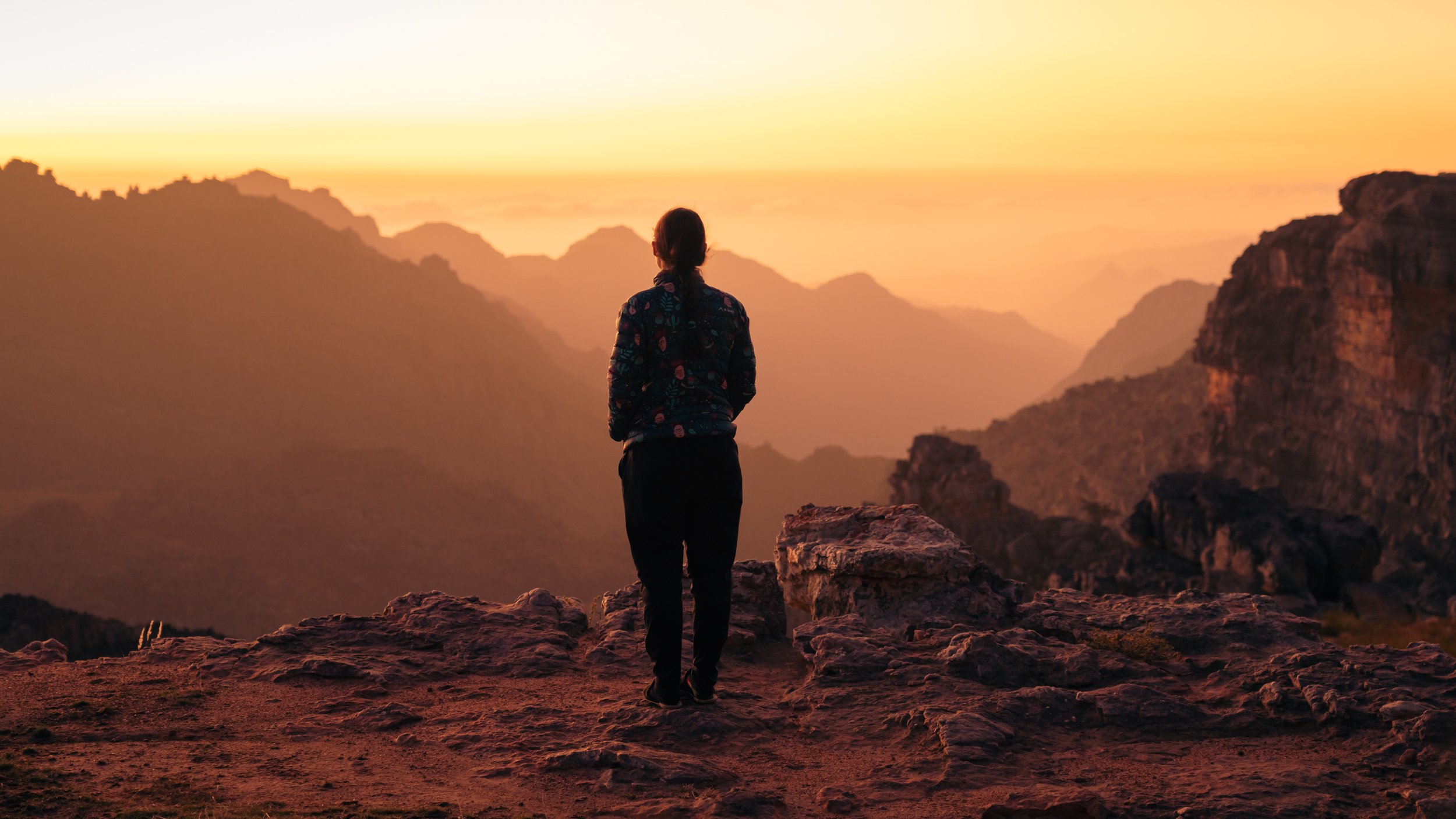
Rays of light cut through a hazy sunset, Cederberg. © Matt Bouch
Where is the Sleeppad Hut?
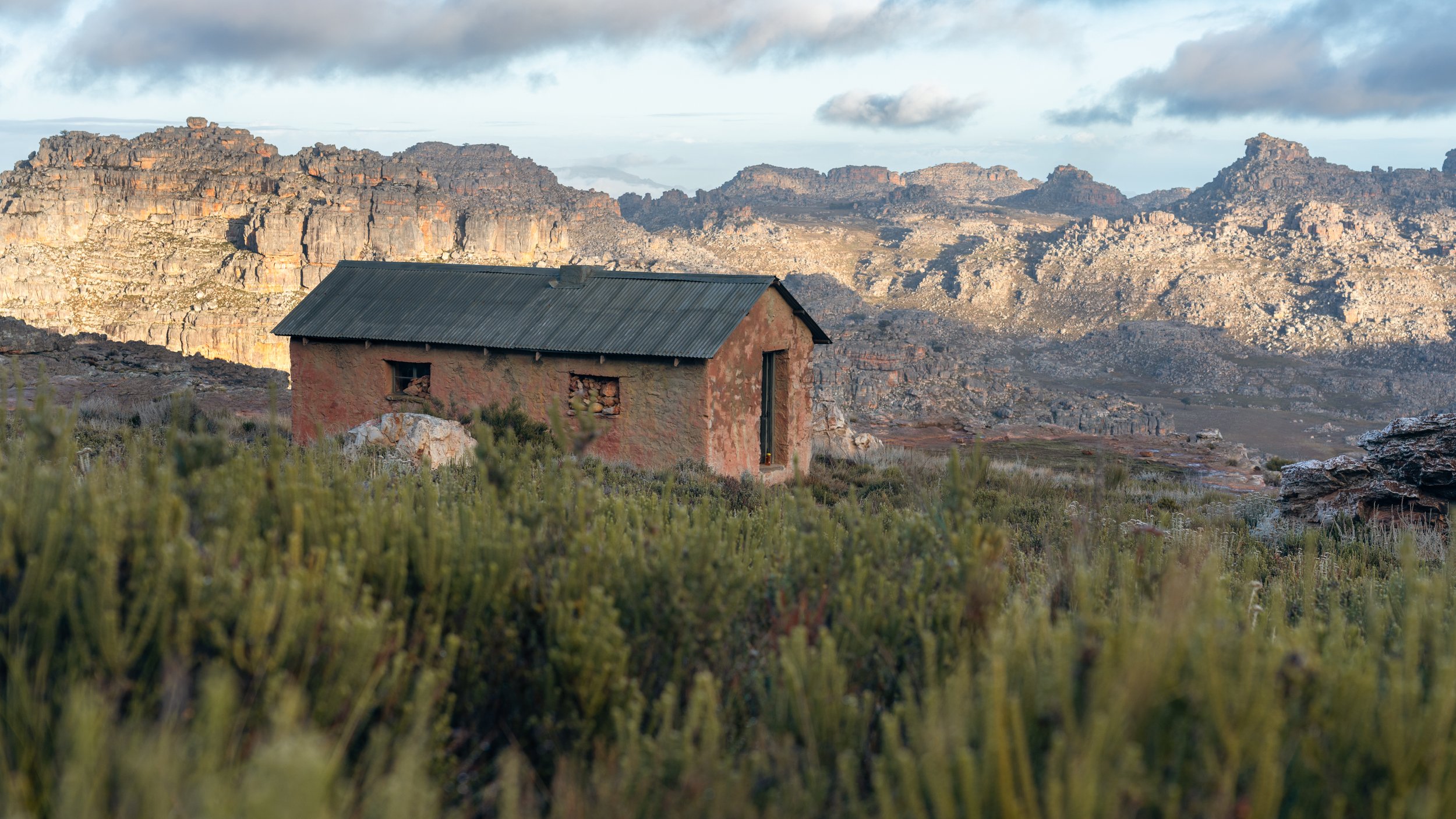
The Sleeppad Hut is a cosy mountain hut in the northern section of the Cederberg Wilderness. It backs onto Shadow Peak and is flanked by South Peak, with sweeping vistas toward Middelberg taking centre stage. Not all mountain huts are created equal, and the Sleeppad Hut is up there with the best of them: two rooms, one outside toilet, an almost fully waterproof roof, solid stone walls, working doors, and a straw-covered floor. Pure luxury. The perks of having two separate rooms are that different groups can share the hut. There is also ample camping space outside for those that prefer their own tents.
How to get permits for hiking in the Cederberg
Permits for hiking in the Cederberg are easily accessed through Cape Nature. The overnight hiking permits needed for this hike can be purchased through the Cape Nature Contact Centre or at the Algeria office. Tarrfis vary, and it is best to contact Cape Nature for up-to-date prices.
How to get to the Sleeppad Hut
The two most direct routes to the hut are:
Algeria, via Die Gat and Uilsgat (Oneway: 9.48km, 1059m ascent. Technical sections)
Driehoek, via Welbedachtskloof and along Die Trap. (One way: 9km, 691m ascent)


The route from Driehoek is considerably easier, and it’s the one I would suggest. As with any hike, it is vital that you carry a map and that you understand how to use it. You can purchase the Slingsby ‘Hike The Cederberg’ map here.
Make your way toward the Driekhoek Farm. You will park your car at the oak trees which are 3.7km past the farm (when coming from Sanddrift). Click here for a Google Maps location. The trail toward Welbedachtskloof begins at the oak trees, and this is the route you’ll follow. Lock your car, shoulder your packs, and head toward the hills.
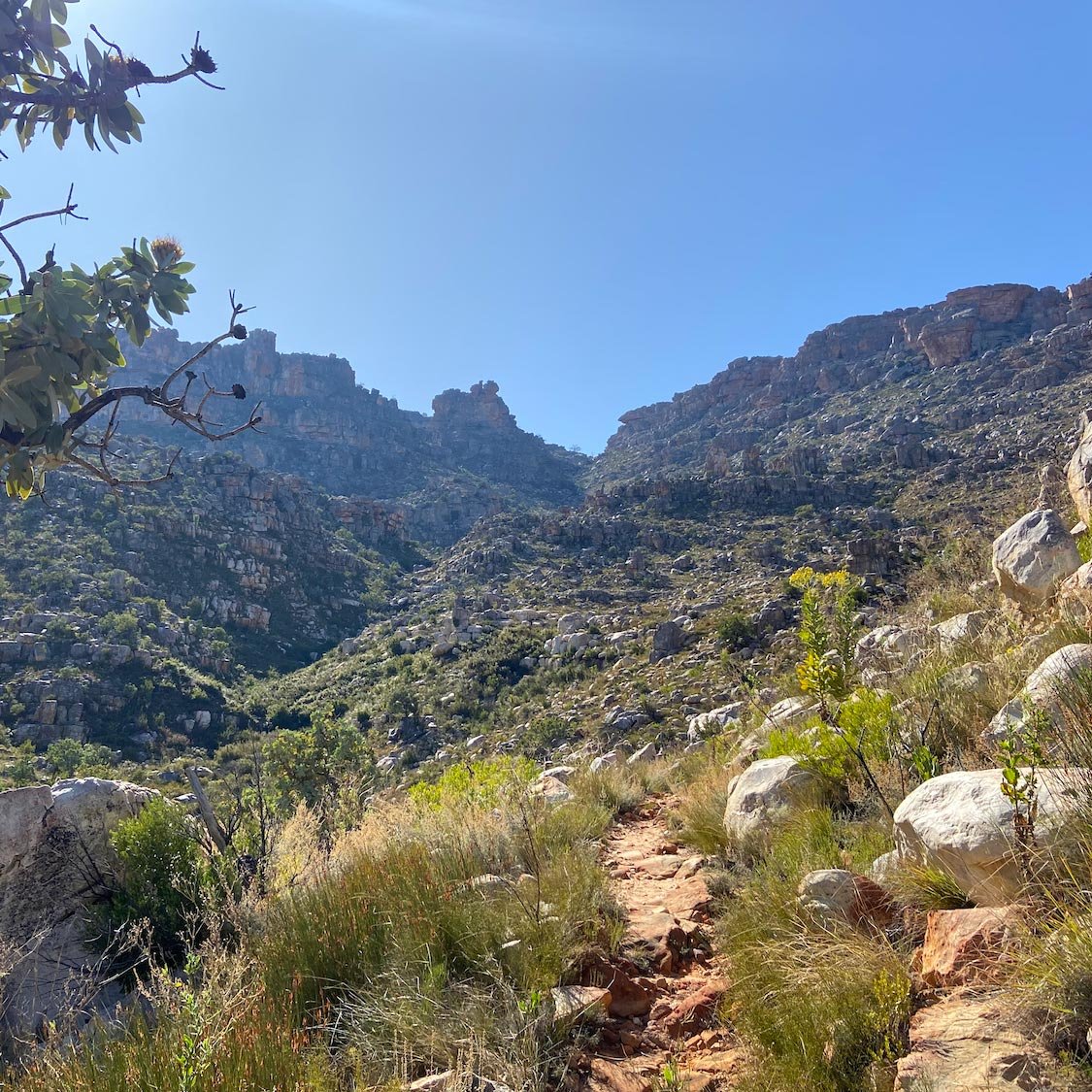
There is a fork in the trail after about 600m, and you should keep right, heading toward the hills up ahead. The trail is easy to follow, loosely following the stream as it winds up the Welbedachtskloof. You do the majority of your ascent during this section, and it’s a short, challenging climb. During winter this stream will be flowing and you can fill up with water en route. However, during mid-summer, it may be dry, so don’t rely on it.
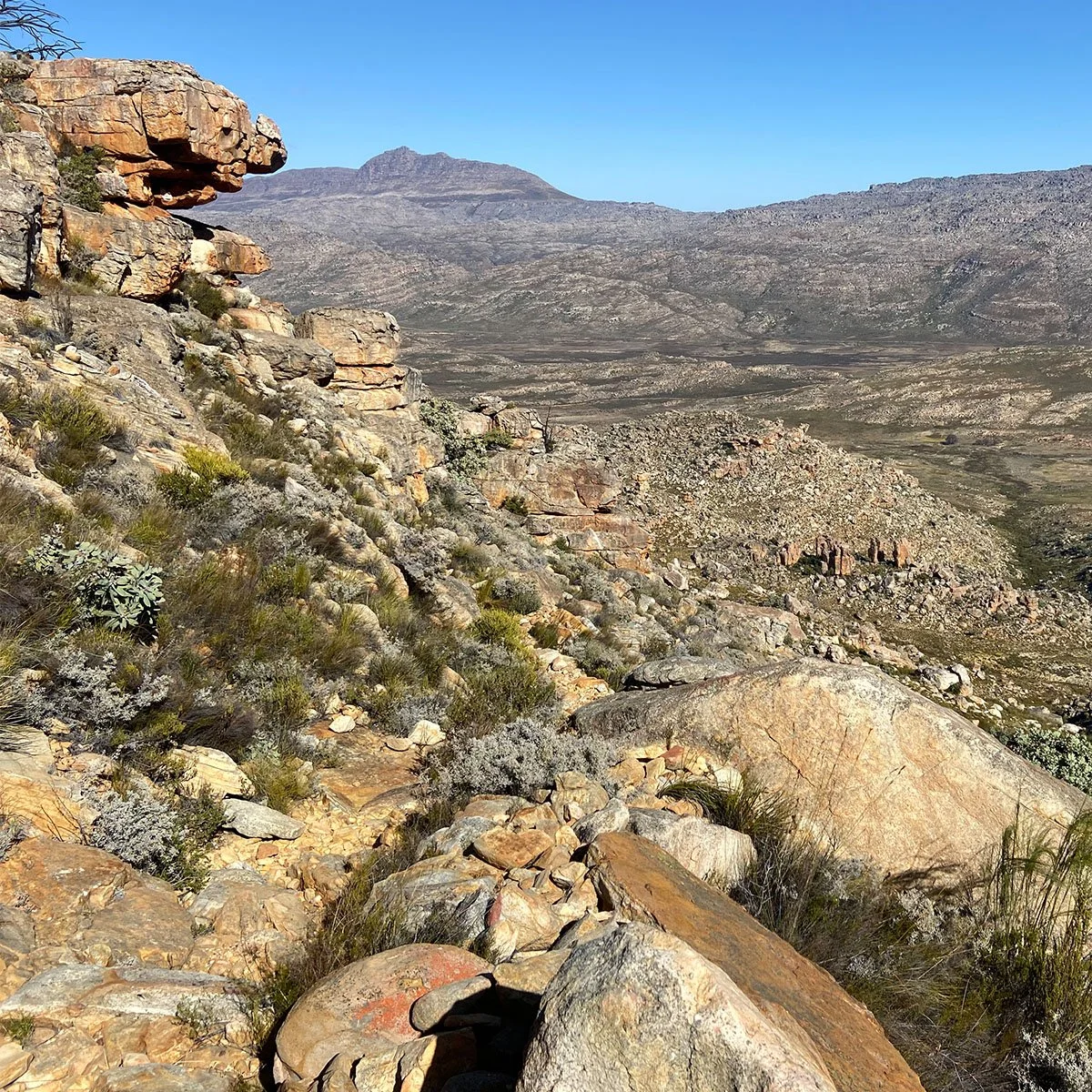
After 3.7km you will reach a plateau. With Driehoek behind you, Tafelberg is up to your right. Looking back on the way came, you’ll have spectacular views of Sneeuberg. Upon reaching this plateau, continue until you intersect another trail; this is Die Trap. Turn left and join this trail, heading in a north-westerly direction. Follow this gentle gravel track for about 5.8km. It wraps around Langberg and Shadow Peak, delivering you directly to the Sleeppad Hut.

Sunrise over Middelberg, Cederberg. © Matt Bouch

Layers of colour fill the valleys. © Matt Bouch

A million star hotel. Sleeppad Hut, Cederberg. © Matt Bouch
Photography from the Sleepad Hut
There are incredible photographic opportunities in this area, and the images below were all shot within 100m of the hut. I would recommend bringing both a wide-angle lens and a telephoto lens to make the most of the landscape. A fast lens (f2.8) is also a good choice because the astrophotography in the Cederberg is second to none. Some of my favourite images were shot at 200mm, isolating details across the Grootlandsvlakkte and surrounding peaks. With the right cloud conditions, you could walk away with some truly special images.


BOOK A WORKSHOP TO THE CEDERBERG
Feel free to contact me if you would like to book a guided photography workshop at this location. I know the area well and can plan the entire trip.